The archipelago
The Vegaøyan World Heritage site is a unique island landscape shaped by the sea, geology, birdlife, and humans over more than 10,000 years. Its World Heritage status is based on the interplay between rich nature, vibrant cultural traditions, and a sustainable way of life in a harsh, northern landscape.
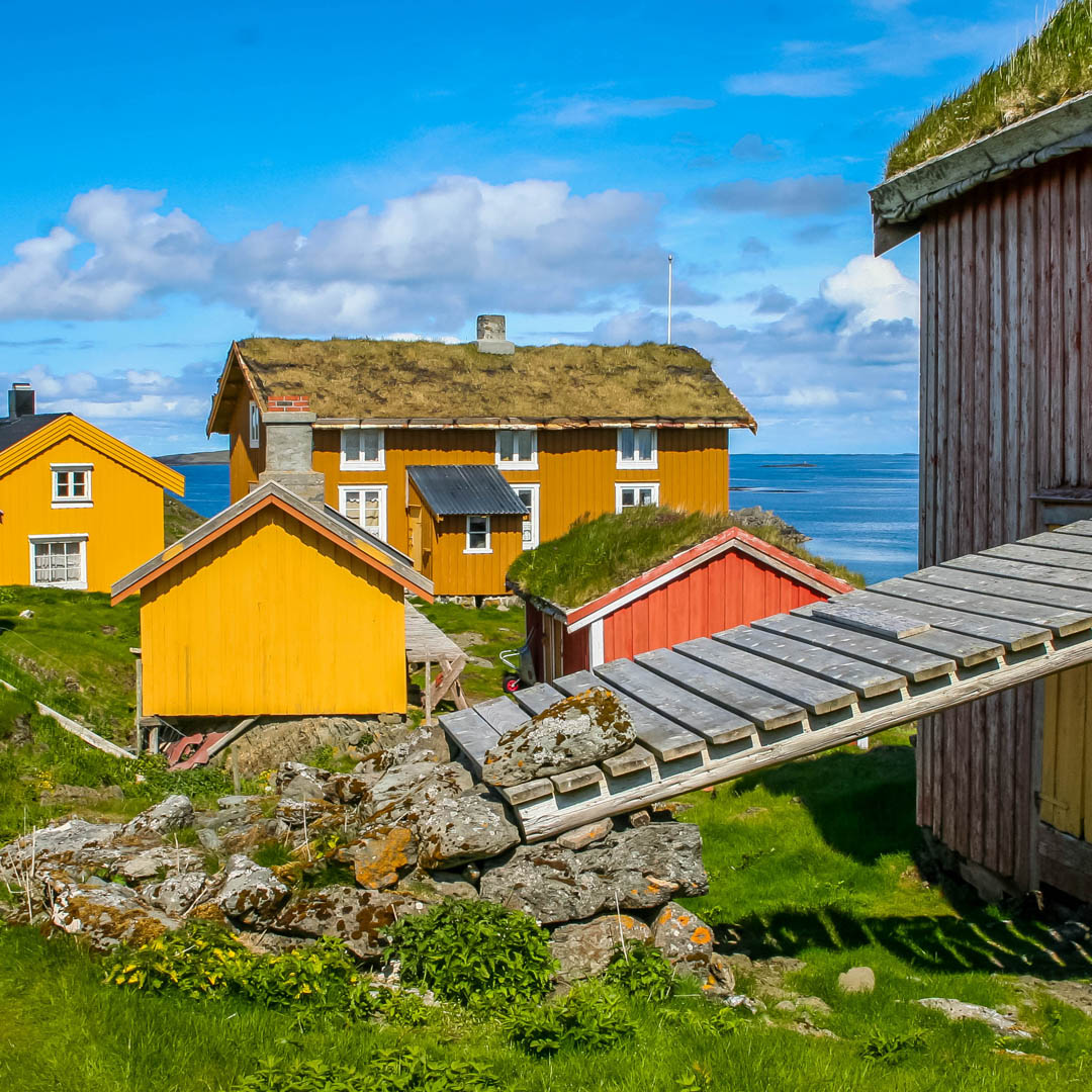
The fisherman-farmer's landscape. Photo Guri Dahl/Norway's World Heritage.
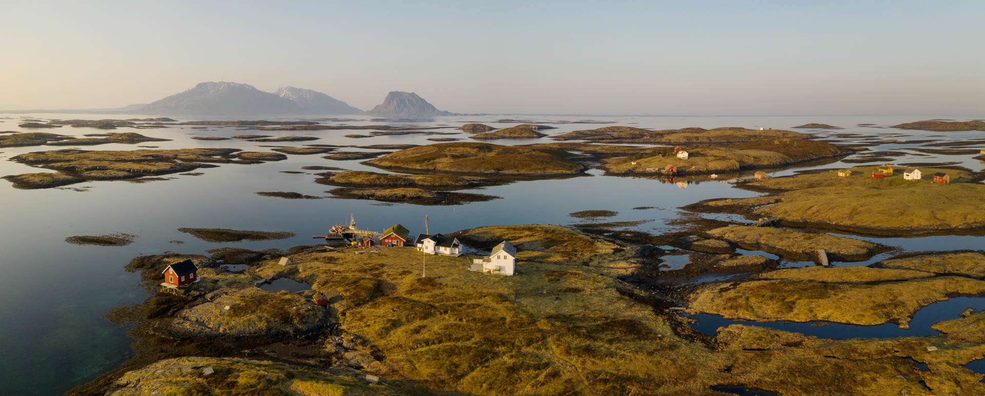
The World Heritage status is based on many outstanding universal values. Much of the World Heritage area encompasses the many small islands off the main island, but also the high mountains on the south side of Vega and the wetlands in the north of the island have been granted World Heritage status. These areas offer insight into other parts of the rich natural and cultural history of the archipelago.
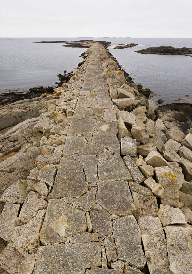
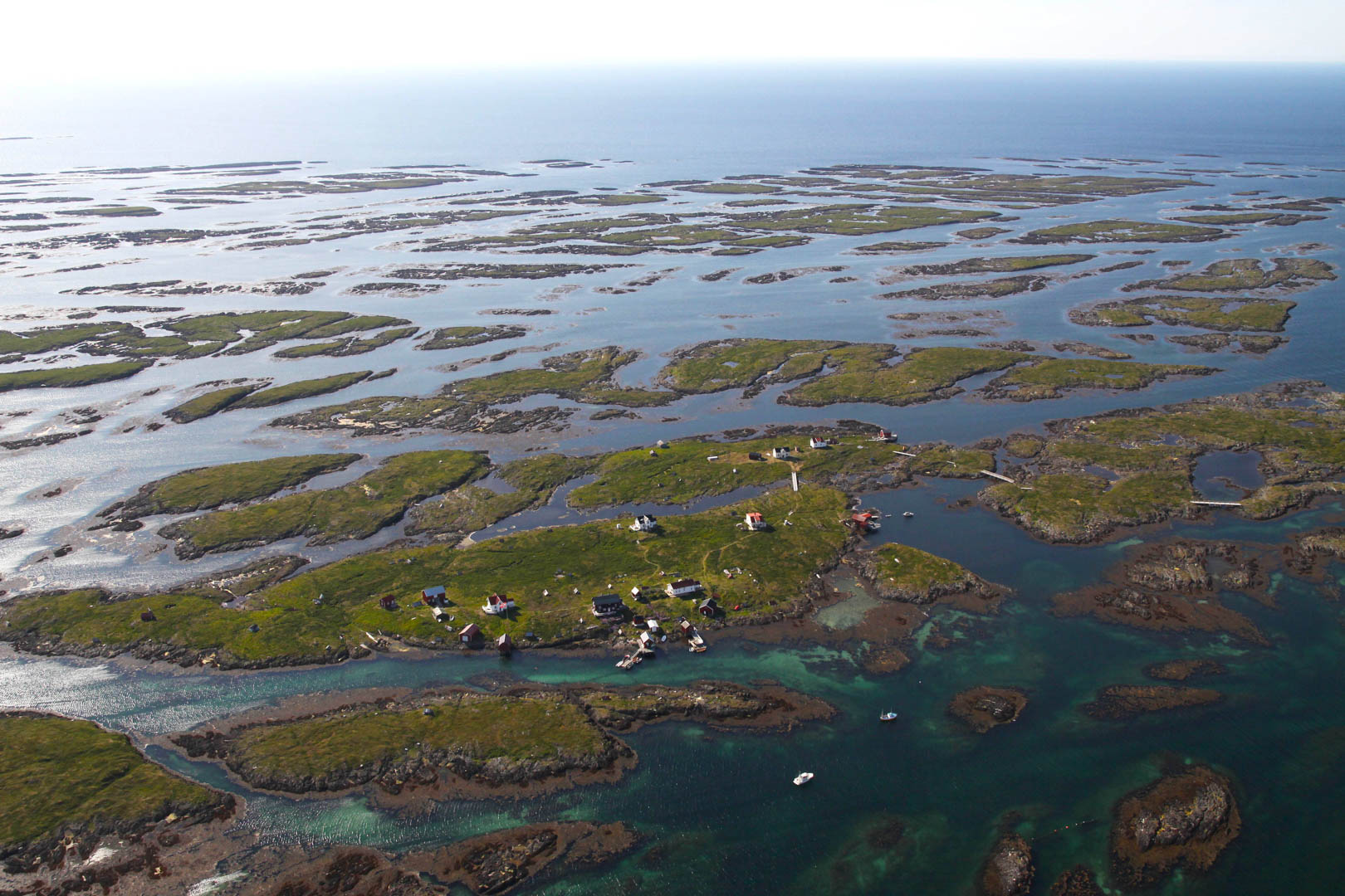
Vegaøyan is located where the strandflat is at its widest in Norway. The strandflat landscape consists of shallow sea with thousands of islands and skerries. Such a landscape is found only along the Norwegian west coast, in Svalbard, Greenland, and a few other places in the world. The large areas of shallow and productive sea have provided a livelihood for both humans and animals since the end of the last ice age more than 10,000 years ago, when Stone Age people settled the larger islands here. Vegaøyan is therefore also part of the Trollfjell UNESCO Global Geopark.
The strandflat and the convergence of several geological phenomena have meant that for millennia, people have found Vega to be a good place to live. To the south lie high granite mountains that have provided residents with protection against winter storms. These mountains are part of the Caledonian mountain range. In the north, the bedrock is dominated by calcareous rocks, which provide rich soil for crops when they weather. Therefore, the northern part of Vega boasts the richest flora.
Despite the area being far north, the warm Gulf Stream leads to better living conditions through higher temperatures. The marine biodiversity in the area therefore includes both southern and some northern species, and the natural diversity is high. Due to the significance of Vegaøyan and the wetlands on Vega for various bird species, Vega is listed on Birdlife International's (IBA) list of the most important bird areas in Europe.
The Vegaøyan World Heritage site is thus the story of the area's geology, its rich biodiversity, and the traces and cultural traditions of the people who have lived here for more than 10,000 years. Particular focus is placed on the 1,500-year-old traditions surrounding the fisherman-farmer, the cultural landscape, and the eider duck tending, which laid the foundation for a sustainable way of life in a harsh, northern landscape and which continue to thrive today.